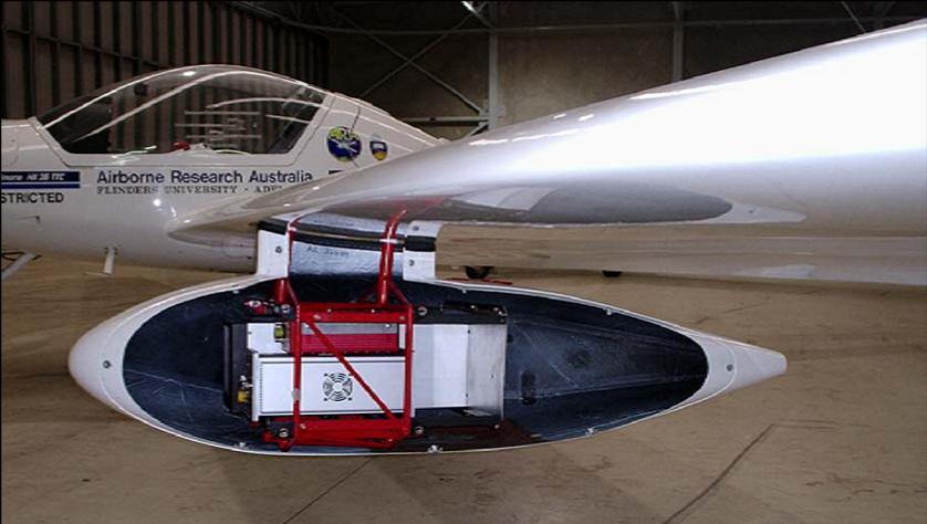
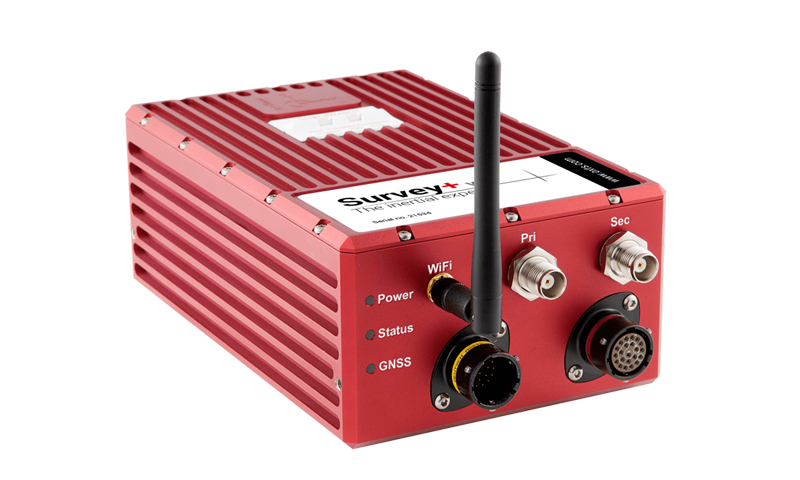
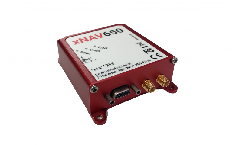
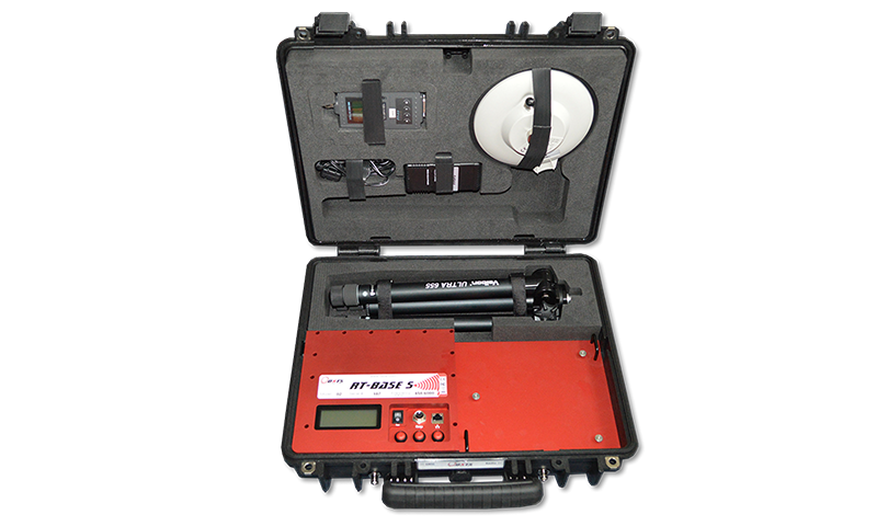
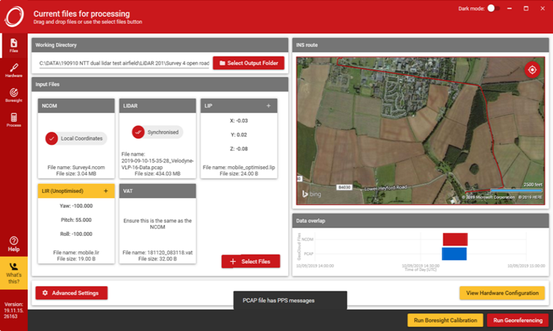
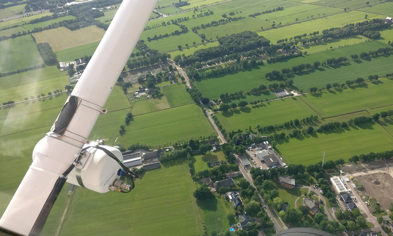
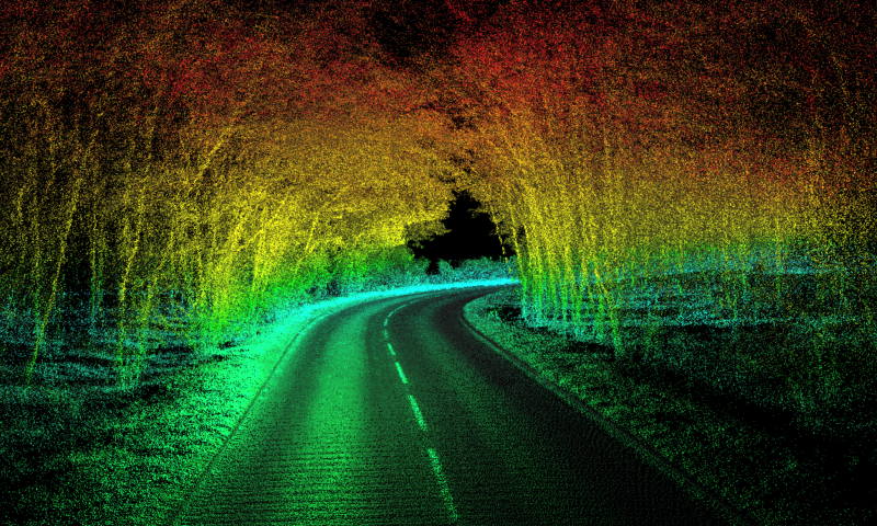
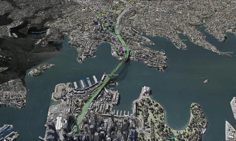
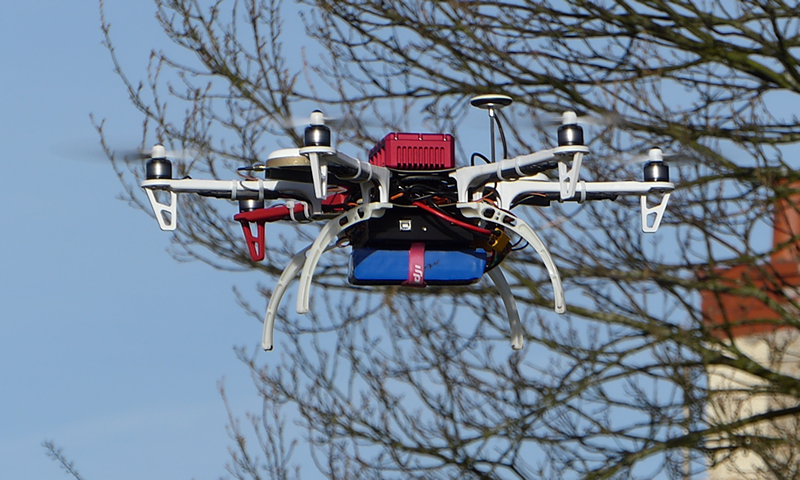
We provide GNSS Inertial Navigation Units which are used together with cameras, radar, laser scanners, lidar, hyperspectral scanners and many more for determining position of up to 1cm accuracy. This geospatial data can then be used for mapping and GIS applications including mine mapping, road mapping, power line mapping and environmental monitoring. The devices can be mounted on moving platforms such as cars, fixed- or rotary-wing aircrafts, or UAVs.