Home / Survey & Mapping / Inertial Navigation Systems

Inertial Navigation Systems

GNSS and inertial measurement unit

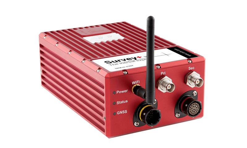
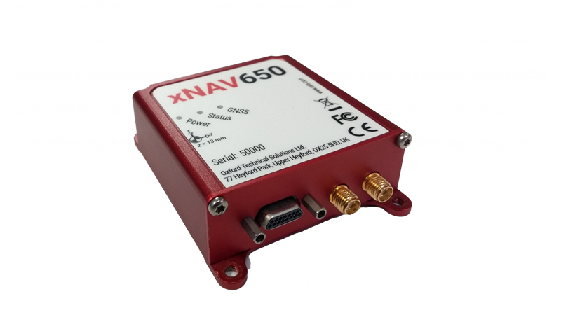
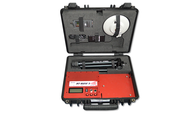
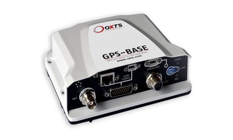
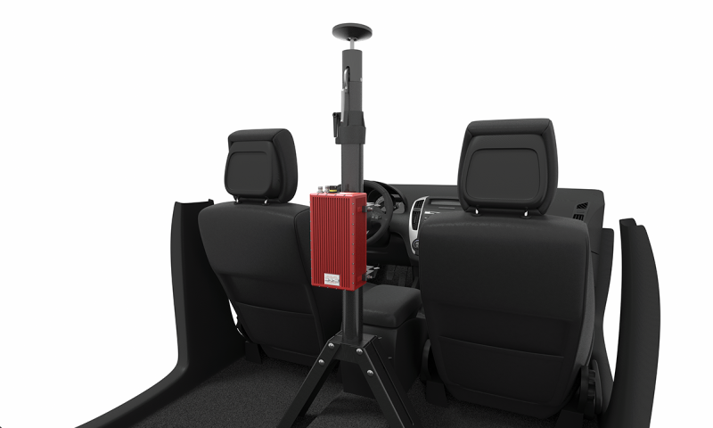
The OxTS GNSS and inertial systems are advanced high-precision instruments for measuring motion, position and orientation of land vehicles, naval vehicles or aircrafts including UAVs. All products contain a six-axis inertial measurement unit and incorporate a multi-constellation GNSS receiver. Inertial navigation systems combined with GNSS provide highly accurate measurements of position, acceleration, velocity, true heading, roll, pitch, yaw, etc. in real-time. They’re also integrated with a variety of correction methods such as SBAS, DGPS, and RTK.

Products

Survey+ v3
xNAV650

Specifications

ParametersSurvey+ v3xNAV650
GNSS constellationsGPS L1, L2
GLONASS L1, L2
BeiDou L1, L2 (Optional)
Galileo E1, E5 (Optional)
GPS L1, L2
GLONASS L1, L2
BeiDou L1, L2
Galileo E1, E5
Position accuracy1.5 m SPS
0.6 m SBAS
0.4 m DGPS
0.1 m PPP
0.01 m RTK
1.5 m SPS
0.6 m SBAS
0.4 m DGPS
0.02 m RTK
Roll / pitch accuracy0.03° 0.05°
Heading accuracy0.1° (single antenna)
0.05° (dual antenna)
0.1°
Measurement rate100 Hz
200/250 Hz (Optional)
100 Hz
200/250 Hz (Optional)
Operating temperature-40°C to +70°C-40°C to +70°C
Specification temperature-10°C to +50°C-20°C to +70°C
Power input10-50 V DC5-30 V DC
Power consumption15 W4 W
Dimensions184 x 120 x 71 mm77 x 63 x 24 mm
Weight1.4 kg130 g
Logging capacity32 GB32 GB
InterfacesEthernet (x3), Serial (x3)Ethernet, Serial
Dual antennaYesYes
PTP capableYesYes

Accessories

RT-Base
GPS-Base
RT-Strut
RT-UPS